
Authorities and emergency services are preparing for one of the most intense rainfall events of the year, as a powerful weather system targets large parts of Spain with the potential to cause flash floods and severe disruptions.
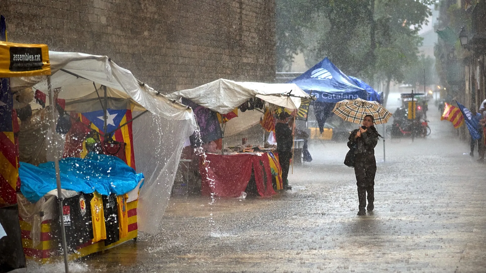
Madrid, September 2025. The Spanish State Meteorological Agency (AEMET) has issued orange and red alerts across several autonomous communities in anticipation of heavy rainfall, strong winds, and potential flooding. The storm system, an extratropical depression advancing from the Atlantic toward the Mediterranean, is expected to deliver between 40 and 60 liters of rain per square meter in just one hour, with some regions likely to experience even higher accumulations. Aragón, Castilla-La Mancha, Catalonia, and the Valencian Community are among the areas facing the highest risk.
Meteorologists warn that certain provinces, particularly along the Ebro River basin and coastal areas of Tarragona, could receive between 80 and 120 liters of rainfall in a matter of hours. In parts of Valencia, the total accumulation could surpass 200 liters per square meter, raising the threat of flash floods and landslides. Hydrological authorities have issued additional alerts, cautioning that small rivers, drainage channels, and low-lying urban zones are particularly vulnerable to sudden water surges.
Local governments have responded swiftly. In Valencia, classes have been suspended in flood-prone districts, public parks and gardens have been closed, and outdoor activities have been restricted as a precaution. Emergency services are urging residents to avoid unnecessary travel, secure loose objects on balconies and rooftops, and remain informed through official weather bulletins. According to the Civil Protection Directorate, contingency plans are in place to manage possible evacuations and coordinate responses in areas where infrastructure could be compromised.
The most critical phase of the storm is expected between Monday and Tuesday, when intense convective cells may form along the eastern coastline, southern Andalusia, and the Strait of Gibraltar. Forecasters emphasize that the system remains highly dynamic, with its trajectory subject to rapid changes. This uncertainty complicates predictive models and necessitates frequent updates to public warnings.
Experts from the Spanish National Research Council (CSIC) note that episodes of this magnitude are becoming increasingly frequent and intense, a trend linked to rising sea surface temperatures in the Mediterranean. According to the European Environment Agency (EEA), such storms are consistent with broader climate change patterns affecting southern Europe, where warmer air holds more moisture and releases it in shorter, more violent bursts. The result is a higher risk of flash flooding, soil erosion, and damage to transport and energy infrastructure.
Authorities are calling for long-term adaptation strategies to mitigate the impact of such events. Urban planners highlight the need for improved drainage networks, natural water retention systems, and more robust flood defenses in vulnerable regions. They also stress the importance of early warning mechanisms and public awareness campaigns to reduce casualties and economic losses. The Ministry for the Ecological Transition has reiterated that climate adaptation is not only an environmental priority but a national security issue, given the potential disruption to agriculture, logistics, and essential services.
Residents across the eastern and southern regions are bracing for intense rainfall and possible evacuations as the storm approaches. While the situation remains fluid, officials urge the population to act cautiously, follow emergency guidelines, and prepare for possible disruptions to transportation, power supply, and communications. The coming days will test Spain’s capacity to respond to extreme weather events in an era where climate volatility is rapidly becoming the new normal.
Every silence speaks / Cada silencio habla.